Terra Logic
Sculpt planets and landscapes, watch water and climate respond, and compare two versions of the same world. Import heightmaps, draw mountain ranges, and export flat terrain to Minecraft Java. Explore Earth, ancient continents and distant worlds at your own pace.
N/A
VGDB Score
Be the first to review
Overview
Summary
Sculpt planets and landscapes, watch water and climate respond, and compare two versions of the same world. Import heightmaps, draw mountain ranges, and export flat terrain to Minecraft Java. Explore Earth, ancient continents and distant worlds at your own pace.
Description
About This Game
Raise a mountain. Open a waterway. See how a world changes.
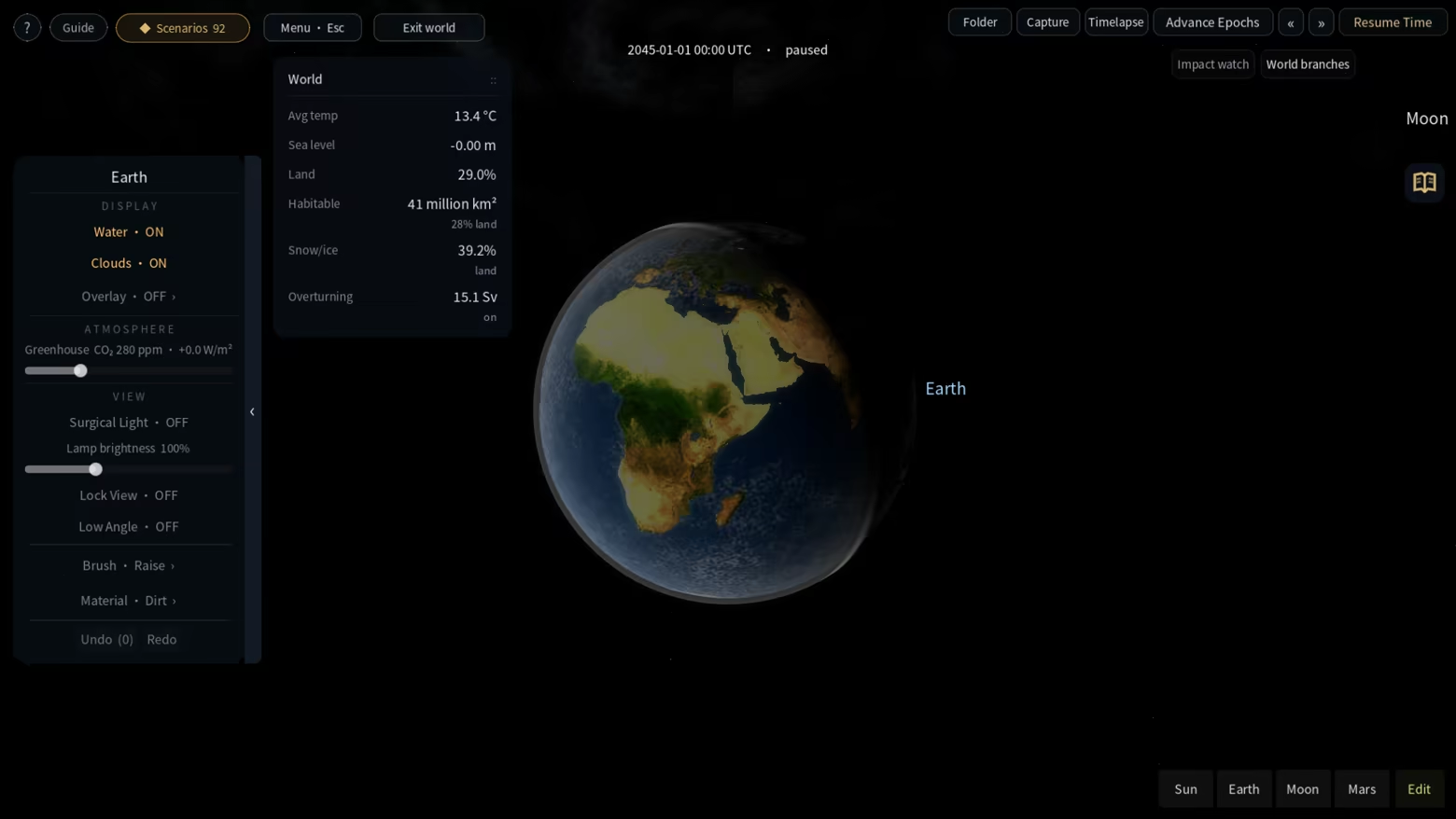
Terra Logic is a planetary terrain and environment sandbox. Shape a landscape with a brush, let the simulation run, and follow the connections between land, water, climate and vegetation. Explore freely, work through a scenario, or build an experiment of your own.
The export targets Java 1.21.1 and is intended for landscape exploration and creative building. It does not generate trees, caves, ores or structures; the area beyond the exported rectangle is void. Bedrock and importing Minecraft saves back into Terra Logic are not supported. Minecraft is required separately to open the exported world.
Terra Logic is not an official Minecraft product and is not approved by or associated with Mojang or Microsoft.
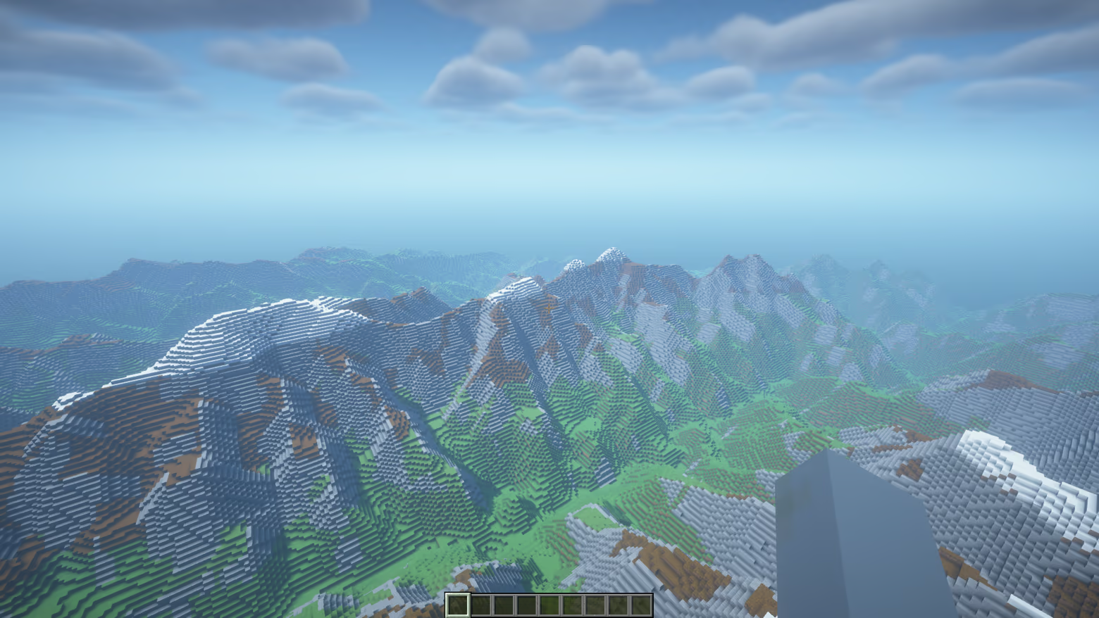
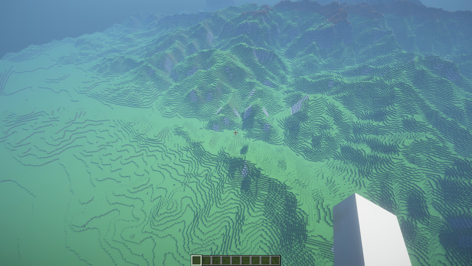
Exported terrain viewed in Minecraft Java, with OptiFine enabled. These screenshots show the result in Minecraft, not Terra Logic gameplay. Appearance depends on Minecraft's rendering settings. Minecraft Java is required separately.
TRAPPIST-1: the boundary between day and night
Explore seven modeled worlds around a dim red star, from the hot inner planets to warm open-water regions and frozen outer worlds. These planets use a tidally locked setup, with lasting day on one side and night on the other. On TRAPPIST-1e, widen a sunlit coast, dig separate pools along the warm belt, and connect them to the existing sea with channels.
Proxima Centauri: carry water into the night
Watch water, ice and terrain meet at Proxima b's day-night boundary. Advance time to witness stellar flares, or raise warm highlands until the ice edge shifts. Dig from the sunlit open-water region into the night side and observe the water freezing as it reaches colder ground. Flare brightness and duration are adjusted for presentation.
Kepler-452: another rhythm of days and seasons
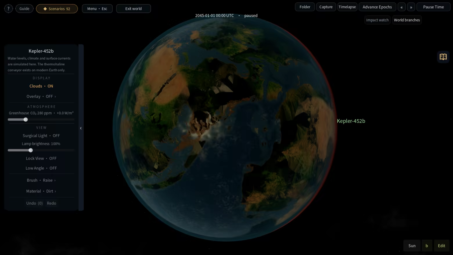
The game models Kepler-452b as a world with land, oceans, a day-night cycle and seasons. Raise a snow-covered mountain in the hot tropics, or build modest terraces and see whether vegetation lasts from one season into the next. Its rotation, tilt and surface conditions here are modeling assumptions.
K2-18: build land from the deep ocean
K2-18b uses a hydrogen-rich ocean-world hypothesis. Lift the first patch of land from the seabed, then turn isolated islands into an archipelago. Raising land also displaces water, exposing your new shores to a changing water level. Keep sculpting and advance time to see which islands remain above the surface.
Kepler-62: a warm sea and a snowball world
Raise a curved island chain on the game's Kepler-62e, then visit Kepler-62f, which begins frozen. Adjust greenhouse conditions, wait for the equatorial sea and coasts to thaw, and observe vegetation returning to the lowlands. Compare how land building and warming play out from these different starting conditions.
LHS 1140: an open sea inside an ice shell
LHS 1140 b uses an icy water-world hypothesis: its star stays on one side of the sky, above a patch of open sea. Raise the first island beneath it, or cut continuous channels through the surrounding ice shell to extend that sea to new shores.
Stellar and orbital parameters draw on observations; some planets and parameters remain uncertain. Exoplanet terrain is assembled from real Earth, Moon and Mars data. The oceans, atmospheres, ice shells and vegetation shown are chosen model scenarios, not measured surface maps or discoveries of life.
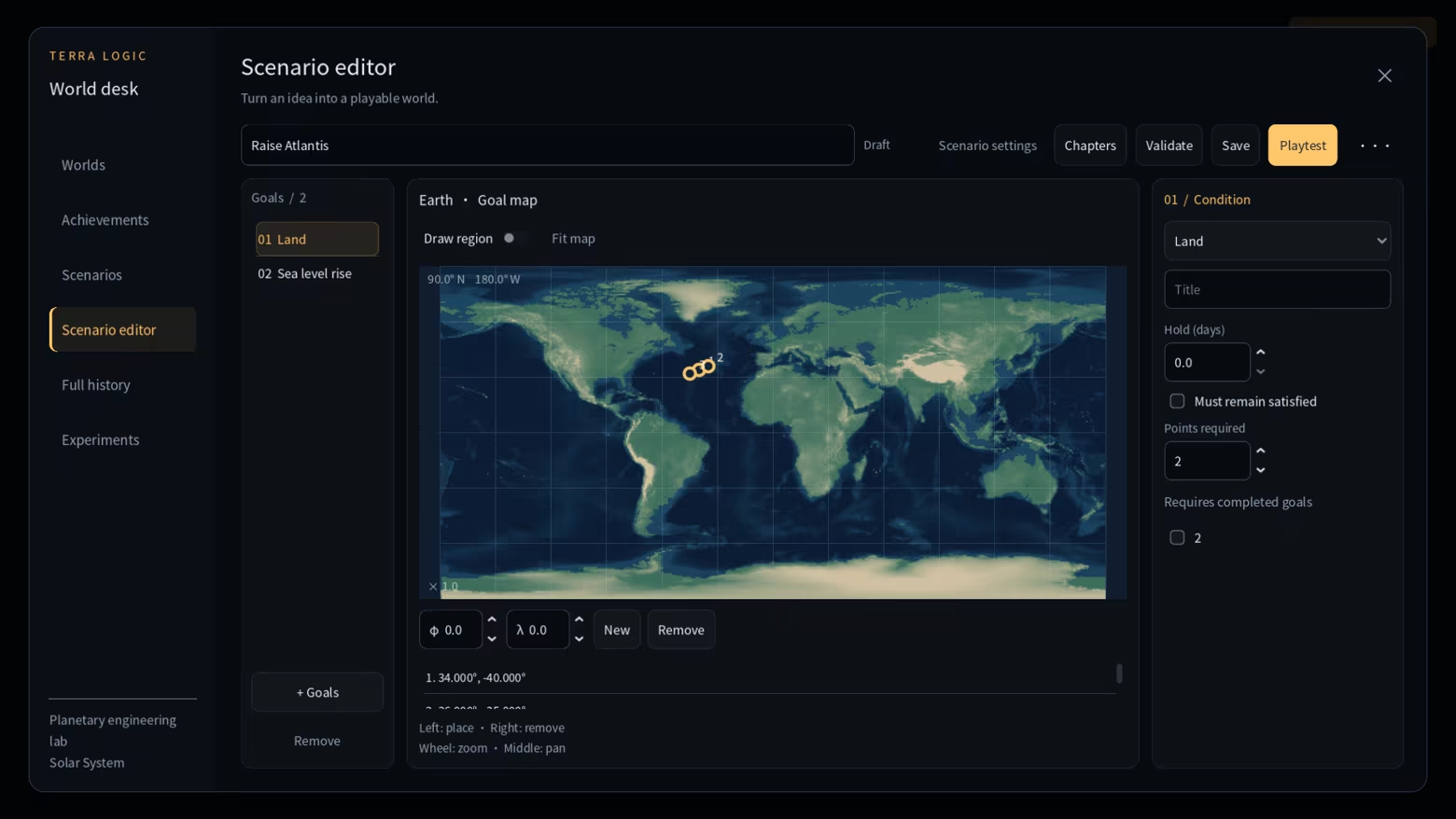
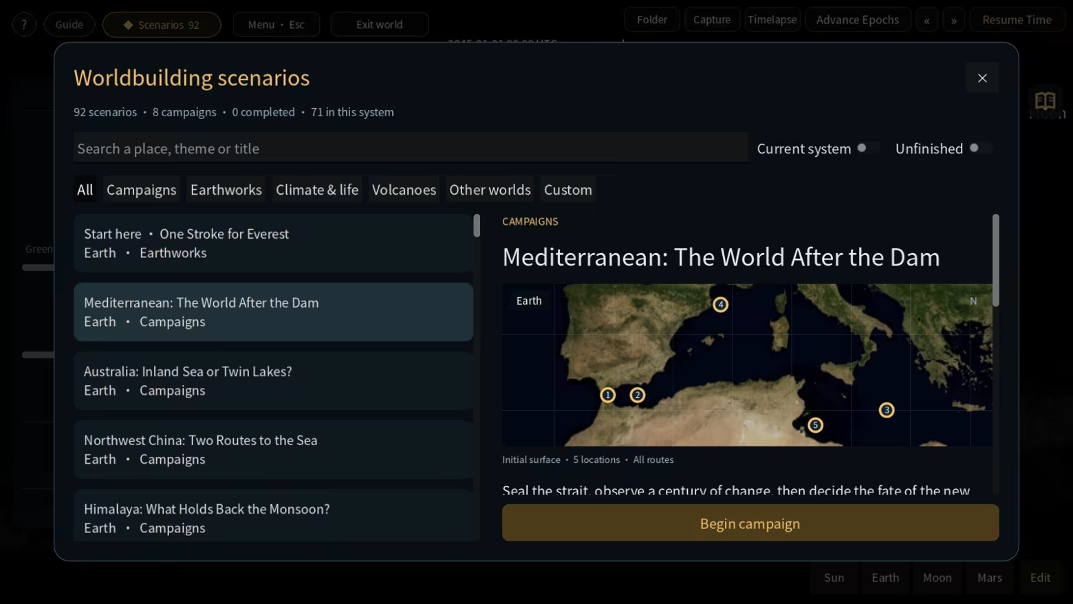
32 scenarios set an engineering allowance based on the volume you dig or fill, encouraging you to plan each intervention. The other scenarios and free sandbox place no limit on engineering volume. Search and filter the scenario library, or use the graphical editor to create objectives, conditions, chapters and branches. Organize worlds and records in the World Desk. Share worlds and authored scenarios through Steam Workshop, or exchange local world packages.
Terra Logic uses simplified interactive models for exploration and play. It is not a scientific forecasting tool, and the same simulation features are not available on every body.
Terra Logic is a planetary terrain and environment sandbox. Shape a landscape with a brush, let the simulation run, and follow the connections between land, water, climate and vegetation. Explore freely, work through a scenario, or build an experiment of your own.
Why I made Terra Logic
Compared with the cosmic scale of Universe Sandbox, I wanted to bring experiments closer to the ground. How does water find a new route when you change a mountain? What happens to the surrounding environment when you open a strait? Terra Logic grew from that curiosity, putting hands-on terrain shaping, environmental responses and comparisons between different interventions at the center of the experience.Shape the land
Raise and lower terrain, smooth rough ground, flatten a site, and paint surface materials. Dedicated ridge and valley brushes help you draw connected mountain chains and broad valley floors along a stroke. Adjust their width and strength, use straight-line drawing when needed, and undo or redo an entire stroke. Open a channel, reshape a coastline or build a barrier, then discover where the available water goes.Watch water, climate and vegetation respond
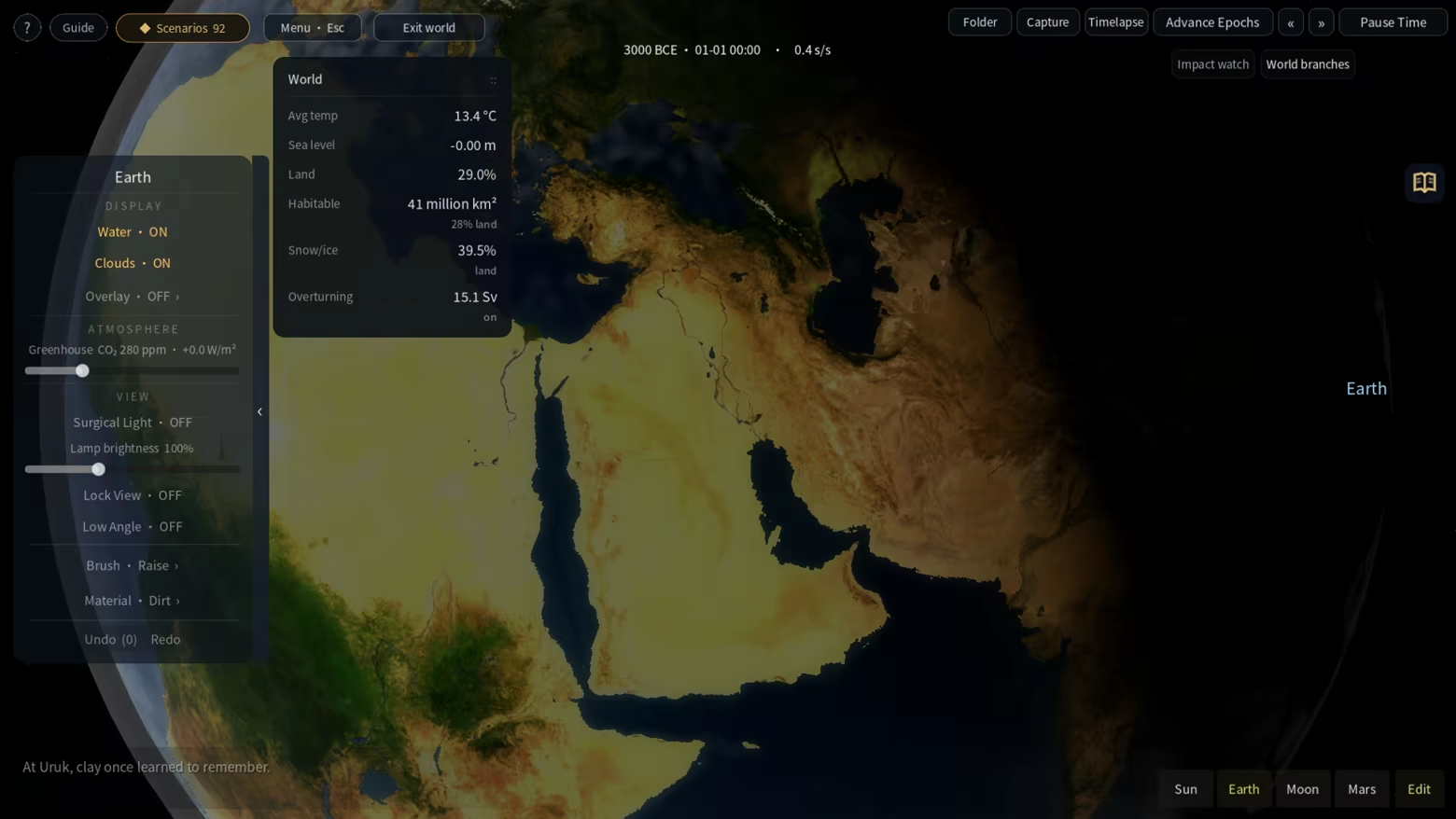
Water fills basins and finds connected routes. Rivers erode and reshape the terrain; temperature, rainfall, ice and vegetation respond to the world's conditions. On modern Earth, explore wind-driven currents, ocean–atmosphere coupling and an overturning circulation that can weaken, collapse and recover. Change terrain or greenhouse conditions, pause to inspect the result, then advance time to see what follows. Different bodies use models suited to their environments.Build a volcano and follow the lava
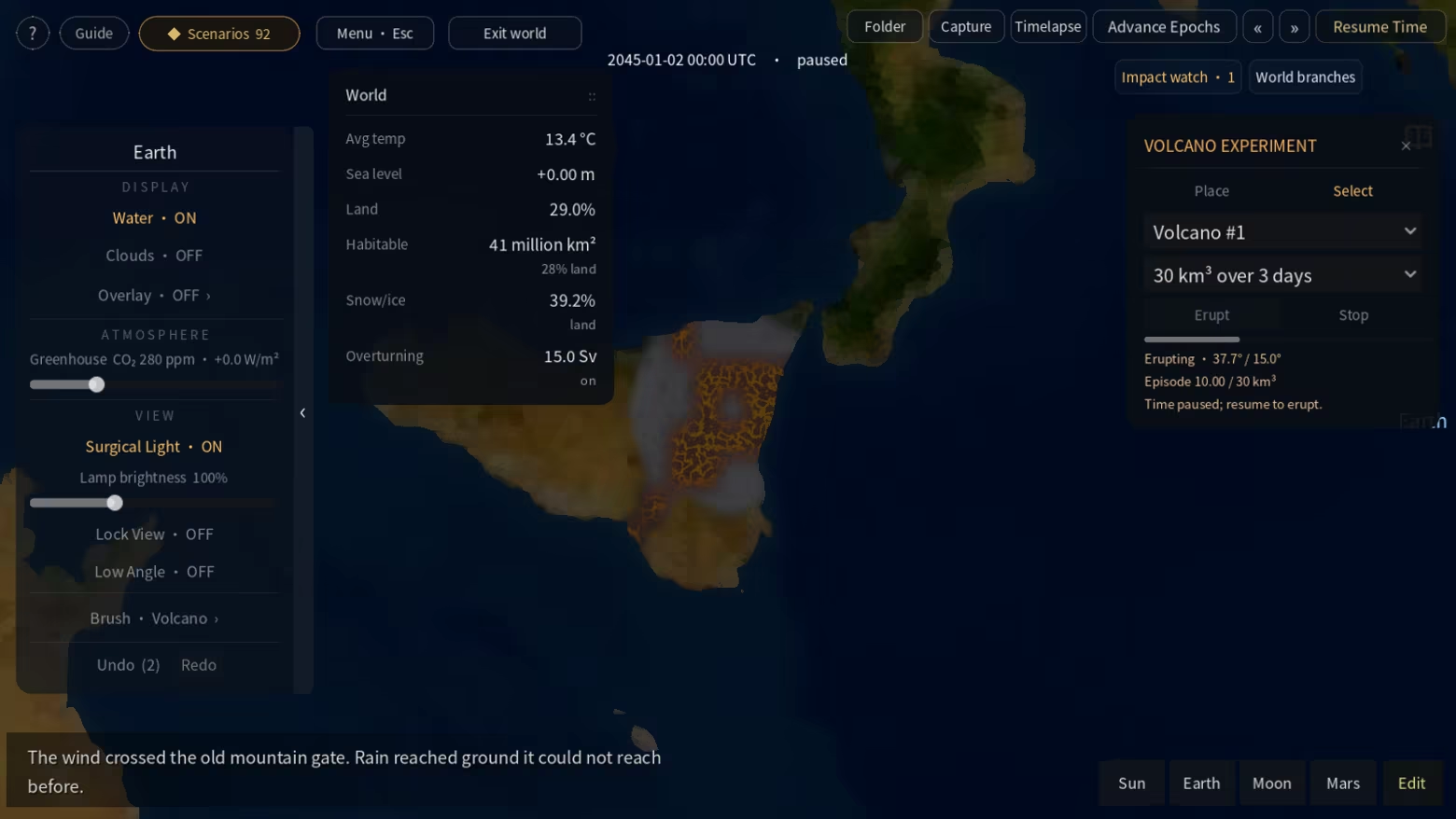
Place a cone or shield volcano on Earth, choose an eruption volume, and watch lava travel downhill into depressions or water before cooling. Deposited rock builds new terrain and leaves a basalt surface as it cools. Pause to inspect, stop the eruption, or undo the experiment and compare different locations and scales.Follow the changes back to a place
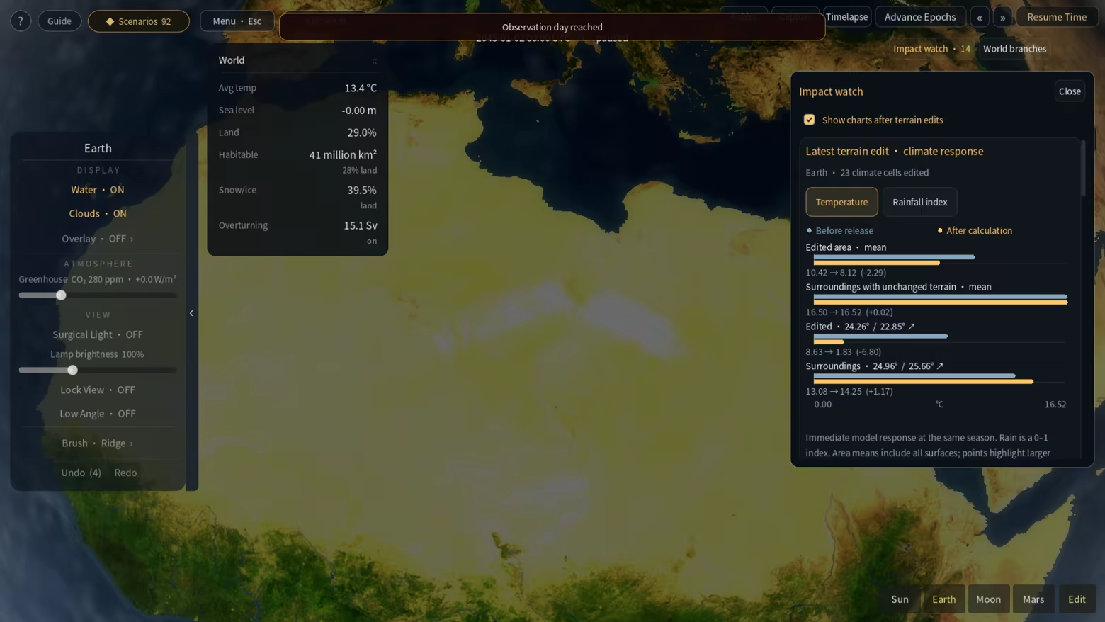
The causal probe breaks down local temperature and rainfall contributions. Map layers reveal environmental patterns, while the chronicle and experiment charts record how a world develops. Impact Watch compares sampled values before and after a terrain edit: temperature, rainfall index, vegetation cover and water depth. Click an observation to move the camera to its location. Seasons and other processes can also contribute to these measured changes.Give one world two different futures
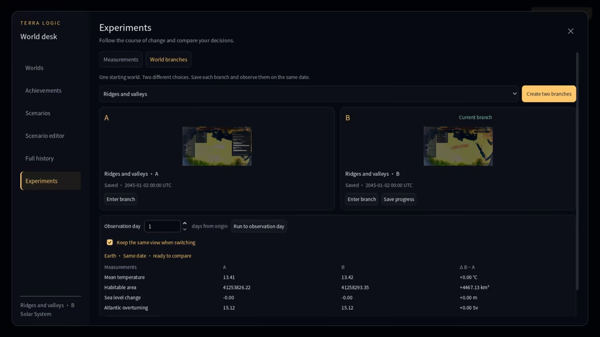
Create independent A and B branches from the same saved starting point. Try a different intervention in each, or leave one as a reference. Switch with the camera held relative to the same patch of ground, advance each branch to the same observation day, and compare saved environmental measurements. Progress is saved before switching; the original world remains available. Advancing to a date runs the simulation and pauses on arrival.Work on a globe or a flat canvas
Sculpt a whole planet, start an empty world, or work on a rectangular landscape. Use a terrain preset such as Taiwan, or import your own grayscale PNG heightmap and set its physical size, elevation range and sea level. Continue editing, then export the height, water depth, water mask, biome, vegetation and painted-material layers. Imported terrain travels with the saved world; full world packages preserve more than a heightmap alone.Take your terrain into Minecraft Java
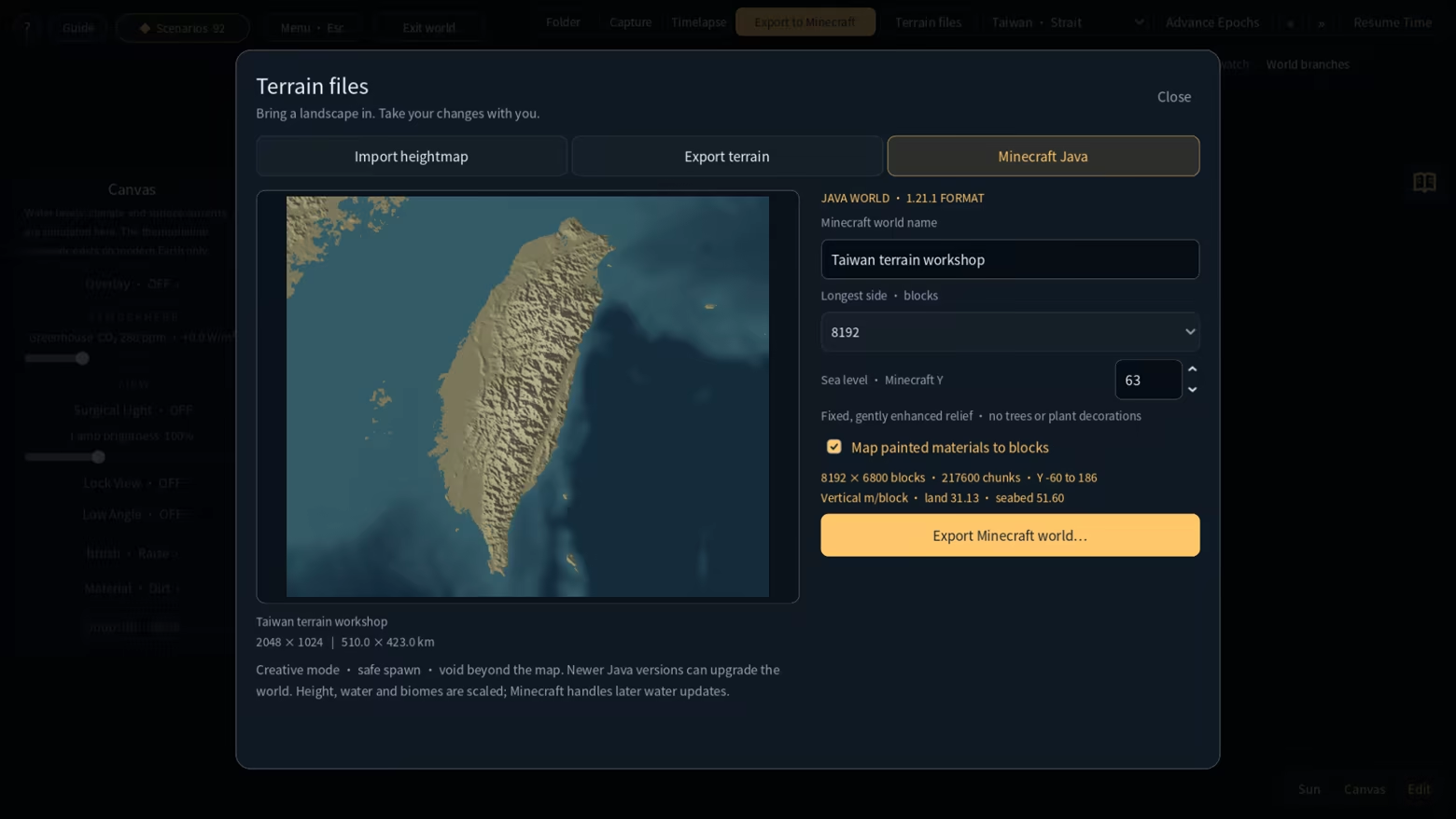
Export a flat canvas directly as a Minecraft Java Creative world, with terrain, water and surface materials. Choose 8,192 or 16,384 blocks for the longest side; the shorter side follows the landscape's proportions. Export runs locally with progress and cancellation. Unzip the result into your Minecraft instance's saves folder to continue building there. WorldPainter is not required.The export targets Java 1.21.1 and is intended for landscape exploration and creative building. It does not generate trees, caves, ores or structures; the area beyond the exported rectangle is void. Bedrock and importing Minecraft saves back into Terra Logic are not supported. Minecraft is required separately to open the exported world.
Terra Logic is not an official Minecraft product and is not approved by or associated with Mojang or Microsoft.
Exported terrain viewed in Minecraft Java, with OptiFine enabled. These screenshots show the result in Minecraft, not Terra Logic gameplay. Appearance depends on Minecraft's rendering settings. Minecraft Java is required separately.
Explore different planetary environments
Visit Earth, the Moon, Mars and Cretaceous Earth, then take your experiments to six exoplanetary systems. Cretaceous continents draw on paleogeographic reconstructions. Beyond the Solar System, different patterns of light, land, water and ice change what the same brushstroke can do.TRAPPIST-1: the boundary between day and night
Explore seven modeled worlds around a dim red star, from the hot inner planets to warm open-water regions and frozen outer worlds. These planets use a tidally locked setup, with lasting day on one side and night on the other. On TRAPPIST-1e, widen a sunlit coast, dig separate pools along the warm belt, and connect them to the existing sea with channels.
Proxima Centauri: carry water into the night
Watch water, ice and terrain meet at Proxima b's day-night boundary. Advance time to witness stellar flares, or raise warm highlands until the ice edge shifts. Dig from the sunlit open-water region into the night side and observe the water freezing as it reaches colder ground. Flare brightness and duration are adjusted for presentation.
Kepler-452: another rhythm of days and seasons
The game models Kepler-452b as a world with land, oceans, a day-night cycle and seasons. Raise a snow-covered mountain in the hot tropics, or build modest terraces and see whether vegetation lasts from one season into the next. Its rotation, tilt and surface conditions here are modeling assumptions.
K2-18: build land from the deep ocean
K2-18b uses a hydrogen-rich ocean-world hypothesis. Lift the first patch of land from the seabed, then turn isolated islands into an archipelago. Raising land also displaces water, exposing your new shores to a changing water level. Keep sculpting and advance time to see which islands remain above the surface.
Kepler-62: a warm sea and a snowball world
Raise a curved island chain on the game's Kepler-62e, then visit Kepler-62f, which begins frozen. Adjust greenhouse conditions, wait for the equatorial sea and coasts to thaw, and observe vegetation returning to the lowlands. Compare how land building and warming play out from these different starting conditions.
LHS 1140: an open sea inside an ice shell
LHS 1140 b uses an icy water-world hypothesis: its star stays on one side of the sky, above a patch of open sea. Raise the first island beneath it, or cut continuous channels through the surrounding ice shell to extend that sea to new shores.
Stellar and orbital parameters draw on observations; some planets and parameters remain uncertain. Exoplanet terrain is assembled from real Earth, Moon and Mars data. The oceans, atmospheres, ice shells and vegetation shown are chosen model scenarios, not measured surface maps or discoveries of life.
Witness a Cretaceous impact and follow its aftermath
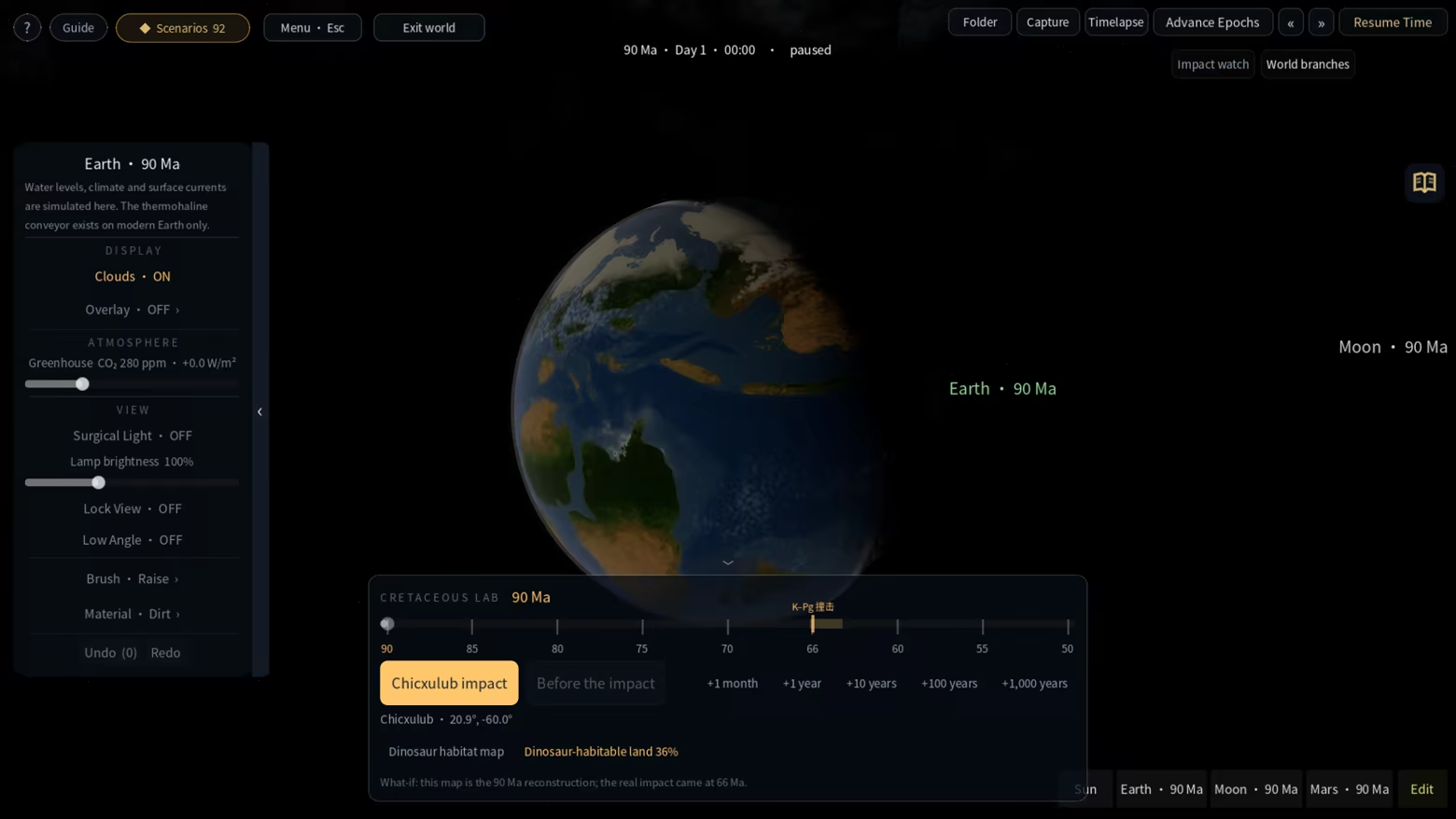
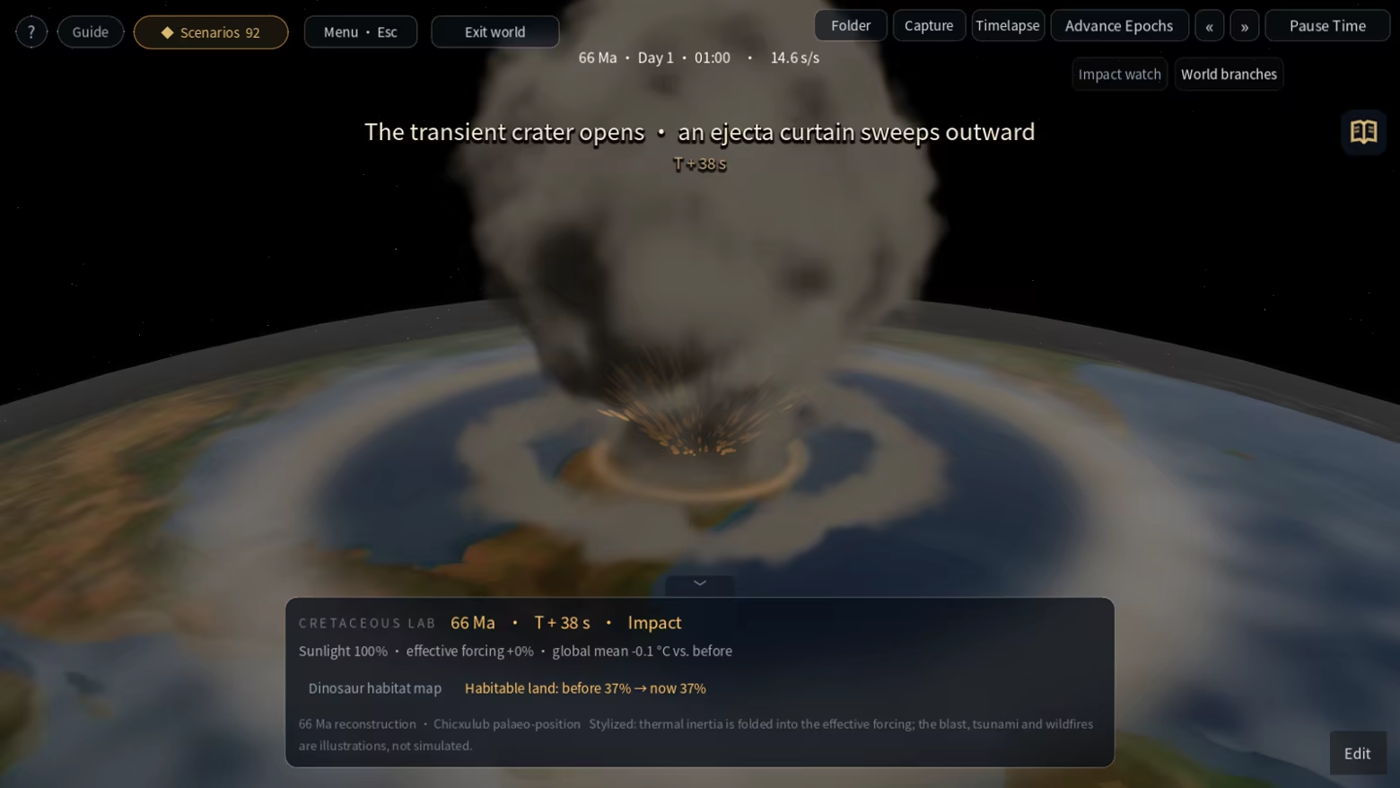
Trigger the Chicxulub impact in a Cretaceous world. Follow the approaching asteroid, watch the crater form and the dust veil spread, then advance time to track simulated sunlight, temperature, vegetation and climatically suitable land. Return to the pre-impact world to compare another run. The close-up sequence uses stylized scales; shockwaves, tsunamis and wildfires are visual illustrations, while environmental changes are calculated by the game's simplified models.Choose Earth's starting year
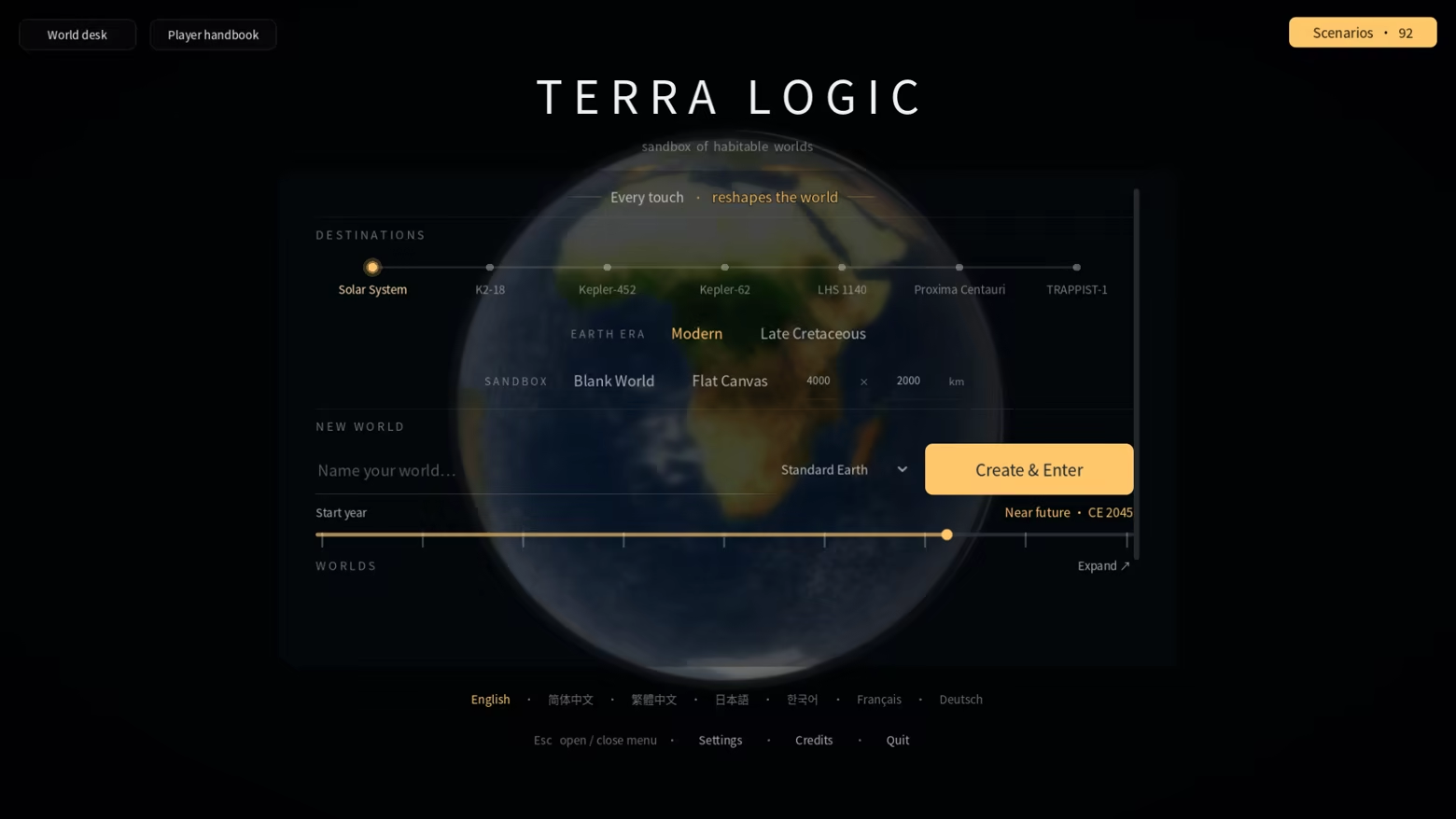
Start a new Earth in a BCE or CE year. Night lights change with the era, and selected historical places respond to flooding, drought, extreme temperatures and recovery. Whisper connects the place in view, historical references and simulated events through short local text captions. It works offline, with no API key or language-model download. The history layer follows selected reference sites; it is not a full population, economy or warfare simulation. The chosen year sets the calendar and era presentation, while terrain and climate follow the world's settings and your edits.Play scenarios and make your own
Choose from 92 built-in scenarios covering environmental restoration, planetary engineering, volcanoes and experiments on other worlds. These include 8 campaigns with connected chapters and branching choices: earlier terrain changes remain as you move into the next stage. After damming the Mediterranean, will you reopen the ocean passage or keep a new coastline? After an eruption, will you build further or stop and wait for the lava to cool?32 scenarios set an engineering allowance based on the volume you dig or fill, encouraging you to plan each intervention. The other scenarios and free sandbox place no limit on engineering volume. Search and filter the scenario library, or use the graphical editor to create objectives, conditions, chapters and branches. Organize worlds and records in the World Desk. Share worlds and authored scenarios through Steam Workshop, or exchange local world packages.
Keep a world worth returning to
Save and load worlds, make independent copies, and use autosaves and recovery points. Capture screenshots and time-lapse frame sequences to document an experiment. A quiet interface and classical music leave space to observe. The offline player handbook covers the tools, simulations and current controls, with search and seven interface languages: English, Simplified Chinese, Traditional Chinese, Japanese, Korean, French and German.Terra Logic uses simplified interactive models for exploration and play. It is not a scientific forecasting tool, and the same simulation features are not available on every body.